Hike of the Week: Wildcat Peak via Jewel Lake
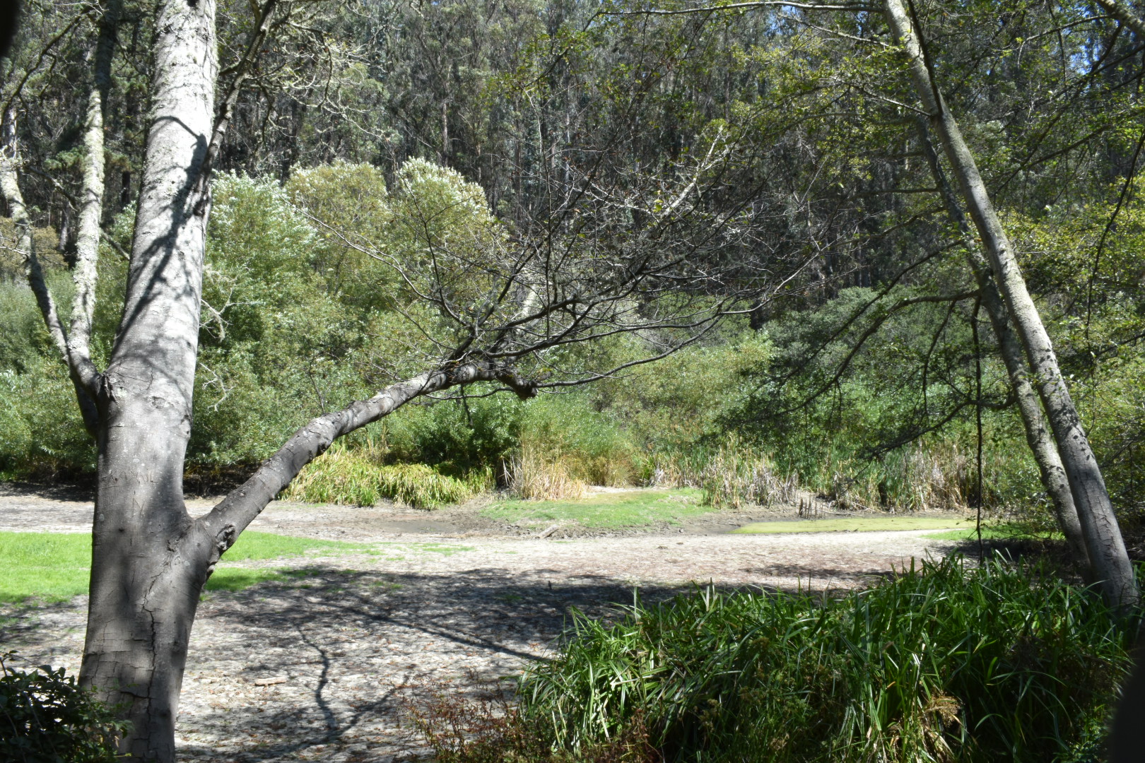
North of Lake Anza is the Tilden Nature Area. Its main attractions are Tilden Little Farm, Indian Camp and Environmental Education Center which form a significant part of Tilden’s resources for young people. The hiking trails behind it cannot be missed, so this hike of the week will take you to two good destinations from the Environmental Education center. Jewel Lake is sadly dry due to the drought, but I have included it here for its greater transit accessibility. Wildcat Peak, however, still offers great, panoramic views of the entire Bay Area.
Also, I think some people may have an issue with poison oak; this hike is better, and people who are sensitive to poison oak will prefer it. Please see my previous post here for information about poison oak.
Quick Notes
Distance: 3.0 miles
Elevation Gain: 659 feet
Type: Out and Back; Loop
Difficulty: Easy

Transit Directions
Take AC Transit Line 67 from University Avenue and Oxford Street to Spruce Street and Grizzly Peak Boulevard. Cross Grizzly Peak Boulevard and immediately turn left on Canon Drive. You can either walk along the street to the parking lot, or take a shortcut through the woods called Memory Trail, which will come up in a few hundred feet.
As an alternative, take AC Transit Line 65 to Euclid Ave and Grizzly Peak Boulevard. Turn left on Grizzly Peak and take Cragmont Ave to Canon Drive and proceed as above.
Driving Directions to Environmental Education Center Parking Lot
Take Shattuck Avenue to Virginia Street. From there, turn left and drive three blocks to Spruce Street, then turn left and follow Spruce Street all the way to Canon Drive. Turn left on Canon Drive and follow it to a triangular intersection where you will turn left and follow Central Park Drive to the parking lot.
The Hike
When you get to the Environmental Education Center, immediately cross Wildcat Creek to take Pack Rat Trail north to Jewel Lake. (Or you can start at the Pack Rat Trail if you are taking transit, but then you would miss the Environmental Education Center).

Pack Rat Trail will bring you around the back of Jewel Lake. Cross the bridge to the Wildcat Creek Trail, and don’t get lost when you notice a missing piece of trail replaced by restoration area. Instead, turn left onto the Wildcat Creek Trail, then right to go up Jewel Lake Trail to the Sylvan Trail, and head left to take the Sylvan Trail to the Peak Trail.
Follow the Peak Trail up the hill and watch the San Francisco Bay spread out to your left. When you reach the peak, you will find a walled-off bench with a plaque commemorating the Berkeley Rotary International Peace Grove below.

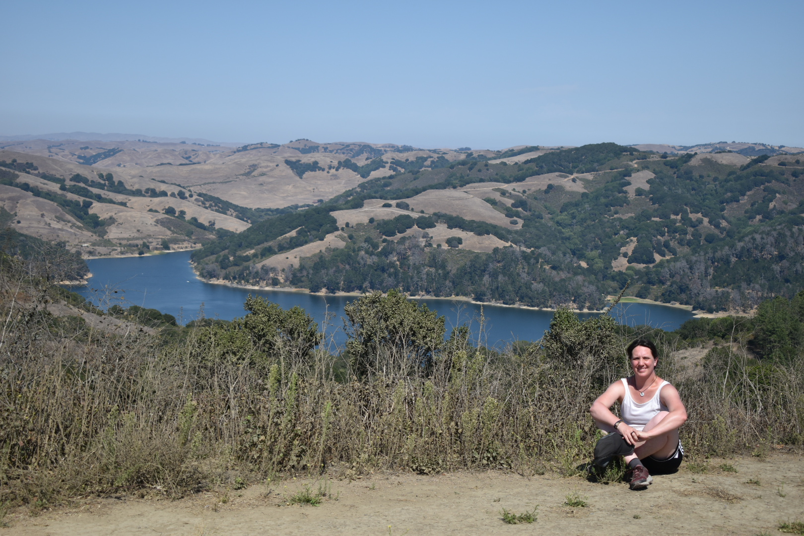
Take some time to enjoy the view here. Due west is Marin County, and south of it will be San Francisco, the Bay, and Oakland. North is San Pablo Bay. Directly east is a view of the San Pablo Valley and Reservoir.
As you head back, note that you can go down the hill in a loop. Continue along Peak Trail to reach Laurel Canyon Road, about a hundred feet up and to the right. If you continue on Peak Trail, you will find a lone shaded picnic table in the Peace Grove across from Nimitz Way. Go back to Laurel Canyon Road and walk 0.5 mile to Loop Road. Then turn left and walk 0.3 mile to reach the Environmental Education Center.

Leave a Reply